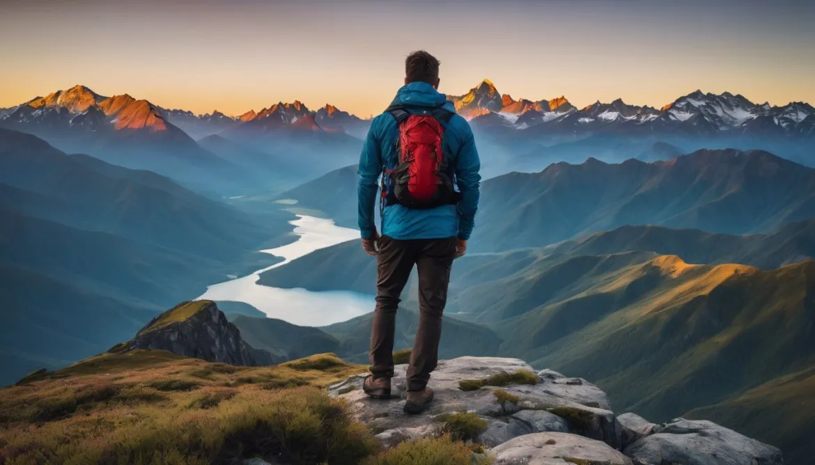
Planning your landscape photography trip requires the right tools and apps. These resources can help increase your chances of capturing stunning images. Whether you need assistance with tracking light, calculating exposures, checking weather forecasts, or identifying the best locations, there are several apps available to meet your needs. In this article, we will explore the top tools and apps that can seamlessly orchestrate your perfect landscape photography shoot.
Key Takeaways:
- Planning your landscape photography trip can be greatly enhanced with the use of tools and apps.
- There are various types of apps available that serve specific functions such as light tracking, weather forecasting, mountain identification, and more.
- Apps like The Photographer’s Ephemeris, PhotoPills, and Adobe Lightroom Mobile are popular choices among landscape photographers.
- GPS tracking apps and location scouting apps can help navigate outdoor environments and identify potential shooting spots.
- File-syncing and storage apps like Dropbox and Google Drive ensure the security and accessibility of your photos.
Why Photographers Need Planning Apps
Planning is a crucial aspect of landscape and travel photography. Pre-visualizing an image and doing the necessary planning can greatly enhance the quality of your photographs. This involves tracking the position of the sun and moon, checking weather forecasts, selecting compositions and gear choices, and understanding other factors such as tides. By using planning apps, photographers can simplify the process and make it more enjoyable. These apps are not only beneficial for landscape and travel photographers but for all photographers working outdoors.
When it comes to landscape photography trip planning, the right apps can be indispensable tools. They can help us keep track of essential information like the golden hour, weather conditions, and the best spots for photography. With the convenience of smartphones and the variety of apps available, we can have all the information we need right at our fingertips.
With landscape photography trip planning, we want to take full advantage of the natural beauty around us. We want to capture those breathtaking moments and create stunning images that evoke emotion and tell a story. To achieve this, careful planning is essential, and planning apps can be invaluable in guiding us.
The Benefits of Planning Apps
Planning apps offer a range of benefits for photographers. Here are some reasons why photographers need to incorporate planning apps into their workflow:
- Efficiency and Time-Saving: Planning apps streamline the process of gathering information, saving photographers valuable time. Rather than manually researching various factors, apps consolidate the data and present it in a user-friendly format.
- Enhanced Accuracy: Planning apps provide accurate and reliable data, allowing photographers to make informed decisions based on the most up-to-date information available. This ensures more successful shoots.
- Comprehensive Information: Planning apps offer a wealth of information, including sunrise and sunset times, moon phases, weather forecasts, and location-specific details. This comprehensive data helps photographers plan their shoots down to the finest detail.
- Creative Visualization: Planning apps allow photographers to visualize different scenarios, compositions, and lighting conditions in advance. This visualization helps photographers better plan their shots and anticipate the results they want to achieve.
- Flexibility and Adaptability: Planning apps provide photographers with the ability to adjust their plans on the fly. If weather conditions change or unforeseen circumstances arise, photographers can quickly adapt their strategies accordingly.
“Planning apps offer a range of benefits for photographers. Here are some reasons why photographers need to incorporate planning apps into their workflow.”
By utilizing planning apps, photographers can optimize their landscape photography trips, increase their chances of capturing incredible images, and enjoy a more organized and efficient workflow.
Featured Planning App: PhotoPills
One popular planning app among landscape photographers is PhotoPills. This comprehensive app provides a wide range of features to assist photographers in planning and managing their landscape photography trips.
| Key Features of PhotoPills: |
|---|
| 1. Sunrise and sunset times |
| 2. Moonrise and moonset times |
| 3. Moon phase information |
| 4. Long exposure calculations |
| 5. Depth of field calculations |
| 6. Location scouting and planning tools |
| 7. Augmented reality view |
| 8. Milky Way and star trail planning |
With its user-friendly interface and powerful features, PhotoPills is a valuable tool for photographers’ landscape photography planning needs. Whether you’re an experienced photographer or just starting out, PhotoPills can help you plan and execute your photography trips with confidence.
Types of Landscape and Travel Photography Apps
When it comes to planning your landscape and travel photography trips, having the right apps can make all the difference. These apps cater to different aspects of photography, from tracking light and calculating exposures to checking weather forecasts and identifying shooting locations. Let’s take a closer look at each type of app and how they can help you in your photography journey.
Light Prediction and Ephemeris Apps
Light prediction and ephemeris apps are essential tools for landscape photographers. These apps provide information about the position of the sun and moon at any given time, allowing you to plan your shoots accordingly. By understanding the angle and direction of light, you can visualize your compositions and capture beautiful, well-lit images.
Exposure and Depth-of-Field Calculators
Exposure and depth-of-field calculators are invaluable for achieving proper exposure and focus in your landscape photos. These apps help you determine the right settings for your camera based on factors like aperture, shutter speed, ISO, and focal length. By accurately calculating exposure and depth of field, you can achieve sharp, well-exposed images with the desired amount of focus.
Weather Forecasting Apps
Weather plays a crucial role in landscape photography. Having a reliable weather forecasting app can help you plan your shoots effectively and ensure you’re prepared for any conditions. These apps provide detailed forecasts, including information about cloud cover, temperature, wind speeds, and precipitation. With this knowledge, you can choose the optimal time and location for your shoots to capture the desired atmosphere and mood.
Astrophotography Apps
For those interested in astrophotography, there are specific apps designed to assist in capturing stunning night sky images. These apps provide information about celestial bodies, including star maps, positions of planets, moon phases, and meteor showers. By using these apps, you can plan your astrophotography sessions and capture breathtaking images of the night sky.
Tidal Charts and Apps
When photographing coastal areas or seascapes, tidal charts and apps are essential for understanding tide movements and planning your shoots accordingly. These apps provide tidal information, including tide heights, times of high and low tides, and tidal currents. By aligning your photography sessions with the tides, you can capture dynamic and visually striking images of the coastline.
Subject-Specific Apps
In addition to the above-mentioned apps, there are various subject-specific apps that cater to specific types of photography. These apps provide information and tools for capturing wildlife, birds, flowers, and other subjects. By using these apps, you can enhance your photography skills and capture stunning images of your chosen subjects.
With the wide range of photography apps available, you can effectively plan and execute your landscape and travel photography trips. These apps provide valuable information, assist in making informed decisions, and ultimately help you capture breathtaking images. Incorporate the right apps into your photography workflow to elevate your skills and enhance your overall photography experience.
| App Category | Key Features |
|---|---|
| Light Prediction and Ephemeris Apps | Track the position of the sun and moon, calculate golden hour times, visualize light direction |
| Exposure and Depth-of-Field Calculators | Calculate proper exposure and depth of field based on camera settings |
| Weather Forecasting Apps | Get detailed weather forecasts, including cloud cover, temperature, wind speeds |
| Astrophotography Apps | Plan for celestial events, track stars and planets, capture stunning night sky images |
| Tidal Charts and Apps | Understand tide movements, plan coastal shoots, capture dynamic seascapes |
| Subject-Specific Apps | Cater to specific types of photography, provide information and tools for capturing wildlife, birds, etc. |
Photography Apps for Tracking Light
Tracking the light is essential for landscape photographers. It helps us plan our shoots effectively and capture stunning images. Luckily, there are several apps available that provide detailed information on sunrise, sunset, moonrise, moonset times, and the path of the sun and moon through the sky. These apps are invaluable tools for landscape photography planning.
One of the most popular apps in this category is The Photographer’s Ephemeris (TPE). TPE offers comprehensive features that allow photographers to visualize the position of the sun and moon in relation to their desired locations. With this app, we can accurately plan our shoots based on the available light. Whether we are chasing the golden hour or waiting for the moon to align with the landscape, TPE helps us make the most of our photography trips.
In addition to TPE, there are other noteworthy apps that provide comprehensive light tracking tools. PhotoPills is a favorite among photographers for its wide range of features, including an augmented reality view that overlays the sun, moon, and Milky Way on the live camera feed. This allows us to visualize how the celestial bodies will align with our compositions.
Another popular app in this category is Planit, which offers similar features to TPE and PhotoPills. Planit includes advanced augmented reality tools, as well as features for tracking the Milky Way, star trails, and even lightning storms. It’s a versatile app that caters to the needs of landscape photographers.
Photography Apps for Tracking Light:
| App | Key Features |
|---|---|
| The Photographer’s Ephemeris (TPE) | – Accurate sun and moon position – Sunrise, sunset, moonrise, moonset times – Path of the sun and moon |
| PhotoPills | – Augmented reality view – Sun, moon, and Milky Way overlay on live camera feed |
| Planit | – Augmented reality tools – Tracking the Milky Way, star trails, and lightning storms |
These photography apps for tracking light are essential tools for landscape photographers. They provide valuable information that helps us plan our shoots and capture breathtaking images. Whether we’re chasing the perfect lighting conditions or aligning the celestial bodies with our compositions, these apps make our photography trips more successful.
Best Photography Apps for Weather
When it comes to landscape photography, understanding and being prepared for the weather conditions is essential. To help you plan your shoots accordingly, we have curated a list of the best photography apps for weather that provide detailed forecasts and important meteorological information. These apps will empower you to make informed decisions regarding the timing and location of your photography sessions, allowing you to capture stunning landscapes in the desired atmospheric conditions.
Here are our top picks:
1. Weather & Radar
App Link: Weather & Radar
Availability: iOS, Android
Weather & Radar is a user-friendly app that offers accurate weather forecasts and comprehensive meteorological data. With its intuitive interface, you can easily access information on cloud cover, temperature, wind speeds, precipitation, and more. The app also provides radar animations and weather maps, allowing you to track weather patterns in real-time. This app is a reliable companion for any landscape photographer, ensuring you stay informed about the current and upcoming weather conditions.
2. Clear Outside
App Link: Clear Outside
Availability: iOS, Android
Clear Outside is a powerful weather app designed specifically for astronomers and photographers. It provides detailed and accurate weather forecasts, including cloud cover, humidity, wind speed, and temperature. The app also offers astronomical information such as moon phases and sunrise/sunset times. With its customizable location and date range features, Clear Outside allows you to plan your photography trips well in advance, taking into account the expected weather conditions at your chosen shooting locations.
These photography apps for weather will empower you to plan your landscape photography shoots with confidence. By having accurate forecasts and meteorological data at your fingertips, you can optimize your time in the field and increase your chances of capturing breathtaking images.
Mountain Identification Apps
When photographing in mountainous regions, having the right tools can greatly enhance your landscape photography experience. One essential tool is the use of mountain identification apps, such as PeakFinder, to help you identify mountains and peaks.
These apps offer a 360° panoramic view, displaying the names of nearby mountains and peaks. With just a simple scan of your surroundings, you can quickly identify and label the majestic peaks that surround you. This not only adds accurate information to your photographs but also serves as a handy reference for later.
Imagine capturing a stunning mountain landscape and being able to effortlessly label the peaks in your image. It adds a layer of authenticity and context, allowing viewers to appreciate the grandeur of the mountains. Whether you are a professional photographer or an enthusiastic hobbyist, mountain identification apps are invaluable tools for landscape photography planning.
So, next time you find yourself in the midst of breathtaking mountain scenery, make sure to have a mountain identification app like PeakFinder on your smartphone. It will help you locate and capture those perfect mountain landscapes with accuracy and confidence.
Benefits of Mountain Identification Apps:
- Accurately identify nearby mountains and peaks
- Add context and information to your landscape photographs
- Enhance the authenticity of your images
- Reference the names of mountains for later use
- Plan your compositions based on identified peaks
“Mountain identification apps are like having a personal guide in your pocket, helping you navigate and capture the beauty of mountainous landscapes.”
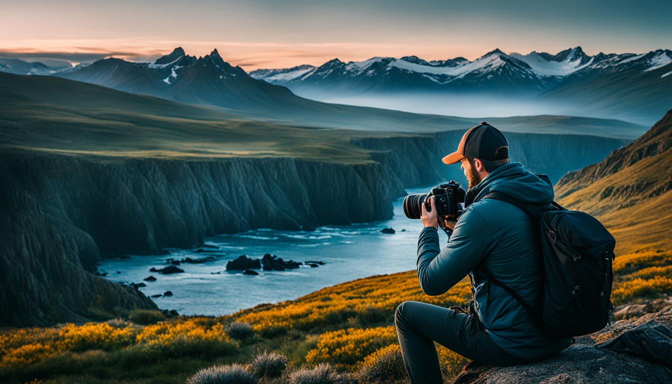
Long Exposure and Camera Control Apps
Long exposure photography is one of the most popular techniques in landscape photography. It allows us to capture stunning images with unique effects and a sense of movement. To achieve the desired results, we need the right tools and apps that can assist us in calculating exposure times and controlling our cameras remotely. Here are two of the best apps for long exposure photography:
NiSi Filters ND Calculator
The NiSi Filters ND Calculator app is a must-have for landscape photographers who want to master long exposure photography. This app helps us calculate the precise exposure times needed when using neutral density (ND) filters. By entering the current light conditions, filter strengths, and desired shutter speed, the app provides us with accurate exposure calculations for capturing beautifully balanced long exposure shots.
Cascable
Cascable is an extremely versatile app that goes beyond long exposure photography. It works as a powerful camera control app that allows us to remotely control our cameras from our smartphones or tablets. With Cascable, we can adjust settings such as aperture, shutter speed, ISO, and white balance, as well as trigger the shutter and review images—all from a distance. This feature is especially useful when we want to capture long exposure shots without touching the camera to minimize shake and vibrations. Additionally, Cascable offers advanced features like exposure bracketing and time-lapse photography, making it a comprehensive camera control tool for landscape photographers.
These long exposure and camera control apps are indispensable tools for taking our landscape photography to the next level. They ensure precise calculations and provide convenient control options, enabling us to capture breathtaking long exposure shots with ease.

| App Name | Main Features | Compatible Platforms |
|---|---|---|
| NiSi Filters ND Calculator | Calculate exposure times with ND filters | iOS, Android |
| Cascable | Remote camera control, exposure bracketing, time-lapse | iOS |
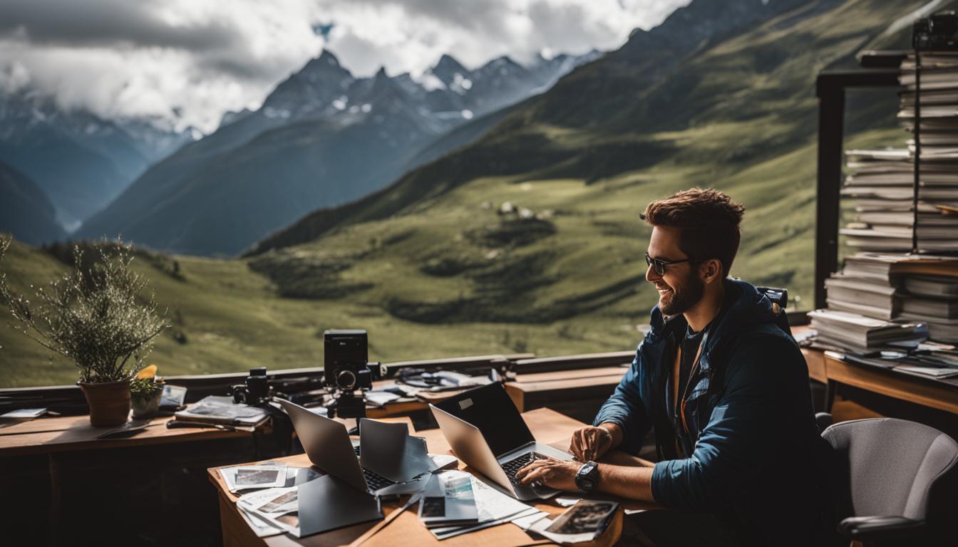
Image Editing Apps
After capturing breathtaking landscape photos, it’s time to enhance them using powerful image editing apps. These apps offer a wide range of tools and features specifically designed for photographers. With their advanced capabilities, you can refine your images and unlock their full potential. Here are two of the best image editing apps that every landscape photographer should have in their toolkit:
Adobe Lightroom Mobile
Adobe Lightroom Mobile is a leading image editing app that provides professional-level editing capabilities on your smartphone or tablet. With its intuitive interface and robust features, you can easily enhance colors, adjust exposure, and fine-tune details to create stunning landscape images. You can also apply presets and filters to achieve specific moods or styles, giving your photos a unique touch. Additionally, Lightroom Mobile seamlessly syncs with the desktop version, allowing you to edit your photos across multiple devices.
Snapseed
Snapseed is a versatile image editing app developed by Google. It offers a wide range of editing tools, including selective adjustments, healing brushes, and perspective correction, allowing you to perfect your landscape photos with precision. Snapseed also features a collection of creative filters and styles that can add artistic flair to your images. With its user-friendly interface and powerful editing capabilities, Snapseed is a must-have app for any photographer looking to enhance their landscape photography.
By utilizing these top image editing apps, you can take your landscape photos to the next level and create stunning visuals that truly capture the beauty of the natural world.
GPS Tracking Apps
When embarking on a photography trip, having the right tools to navigate and explore outdoor environments is crucial. That’s where GPS tracking apps come in handy. These apps enable you to locate specific points of interest and navigate through unfamiliar terrain, ensuring you don’t miss out on any key photographic opportunities.
One highly recommended GPS tracking app is Maps.me. This app allows you to download offline maps, so even if you venture into remote areas with limited internet connectivity, you’ll still have access to detailed maps. With Maps.me, you can mark points of interest, such as unique landscapes or potential shooting locations, and even display hiking trails to make your outdoor photography adventures more enjoyable and efficient.
With Maps.me, you can confidently explore diverse landscapes and navigate challenging terrains without the fear of getting lost. Its user-friendly interface and reliable offline functionality make it an essential tool for any landscape photographer.
“Maps.me is a game-changer for landscape photographers. It not only helps us find our way but also allows us to mark and remember those special spots that are worth revisiting.” – Professional Landscape Photographer
Geo-Tagging and Location Scouting Apps
Geo-tagging apps are invaluable tools for landscape photographers, helping you keep track of the precise locations where your photos were taken. This makes it easier to organize and share your images later, ensuring accurate metadata and providing a seamless experience for viewers.
Additionally, these apps can greatly assist in location scouting and planning your compositions in advance. By using geo-tagging apps, such as PhotoPills and The Photographer’s Ephemeris, you can save and manage your shooting locations. This allows you to easily revisit your favorite spots or explore new areas with confidence, armed with a wealth of previously collected data.
With these apps, you can view detailed information about specific locations, including noteworthy landmarks, geographical features, and even user-generated tips. Whether you’re searching for the perfect sunrise spot, a hidden waterfall, or a breathtaking mountaintop view, these apps provide the necessary tools to guide you toward your photography goals.
In addition to logging your shooting locations, geo-tagging apps often offer features like GPS navigation, augmented reality overlays, and built-in map functionalities. These extra features enhance your on-location experience, giving you the ability to navigate unfamiliar terrain, plan efficient routes, and easily locate points of interest.
When paired with other landscape photography tools and apps, geo-tagging and location scouting apps become an essential part of your photography arsenal. By utilizing these resources, you not only streamline your organization process but also improve your overall photography outcomes by pre-planning your shots and maximizing your time in the field.

Benefits of Geo-Tagging and Location Scouting Apps:
- Record the exact location where your photos were taken for accurate metadata.
- Organize your images more effectively and easily share them later.
- Discover new shooting spots and plan compositions in advance.
- Access detailed location information, landmarks, and tips from other photographers.
- Utilize GPS navigation and map features to explore unfamiliar environments.
By making use of geo-tagging and location scouting apps, you can enhance your landscape photography trips and maximize your creative opportunities. These apps take the guesswork out of finding the perfect locations and ensure that your images are accurately documented.
File-syncing and Storage Apps
Managing and organizing your photos while on a photography trip is essential. In order to ensure the safety and accessibility of your images, utilizing file-syncing and storage apps is highly recommended. Two popular options for photographers are Dropbox and Google Drive. These apps provide convenient ways to back up and access your images from multiple devices, eliminating the fear of losing your valuable photographs.
With Dropbox, you can easily store, sync, and share your photos. Whether you’re using a smartphone, tablet, or computer, Dropbox allows you to upload your images to the cloud and access them from anywhere with an internet connection. Additionally, Dropbox offers automatic backup and file recovery, giving you peace of mind knowing that your photos are secured.
Google Drive is another powerful tool for photographers. It not only offers secure storage for your images but also provides seamless integration with other Google services, such as Google Photos and Google Docs. This integration allows you to easily organize and edit your photos, collaborate with others, and even create captivating presentations with your landscape photographs.
“Using file-syncing and storage apps like Dropbox and Google Drive frees up precious space on your devices, allowing you to focus on capturing stunning landscapes without worrying about data loss.”
By utilizing file-syncing and storage apps, you can efficiently manage your photos while on a photography trip. These apps ensure that your images are securely stored, easily accessible, and free up storage space on your devices, giving you the freedom to capture breathtaking landscapes without concerns about data loss or limited storage capacity.
Benefits of File-Syncing and Storage Apps:
- Secure storage and backup for your photos
- Access your images from multiple devices
- Free up storage space on your devices
- Seamless integration with other apps and services
Conclusion
Planning your landscape photography trip is essential for capturing stunning images, and the right tools and apps can make the process easier and more effective. With a wide range of apps available, you can seamlessly orchestrate your perfect photography shoot.
By utilizing apps that track light, provide weather forecasts, assist in mountain identification, offer camera control and editing capabilities, aid in GPS tracking and location scouting, and ensure secure storage and file-syncing, you can enhance your photography experience and capture truly breathtaking landscapes.
Whether you’re a professional photographer or an enthusiast, these essential apps will empower you to confidently plan and execute your landscape photography trips with ease. So start exploring the best apps for photography trips and embark on your next adventure to create unforgettable visual masterpieces.
FAQ
Why is planning important for landscape and travel photography?
Planning is important for landscape and travel photography as it allows photographers to pre-visualize images, track the position of the sun and moon, check weather forecasts, select compositions and gear choices, and understand factors such as tides. By using planning apps, photographers can simplify the process and enhance the quality of their photographs.
What types of apps can aid in landscape and travel photography planning?
There are various types of apps that can aid in landscape and travel photography planning, including light prediction and ephemeris apps, exposure and depth-of-field calculators, weather forecasting apps, astrophotography apps, tidal charts, and other subject-specific apps. Each type of app serves a specific function and provides valuable information for planning your photography trips.
What are the best apps for tracking light in landscape photography?
The Photographer’s Ephemeris (TPE), PhotoPills, and Planit are popular apps that offer features for tracking the position of the sun and moon in relation to your desired locations. These apps provide valuable information to help you plan your shoots effectively.
Which apps provide detailed weather forecasts for landscape photography?
Apps like Weather & Radar and Clear Outside provide detailed weather forecasts for landscape photography, including information on cloud cover, temperature, wind speeds, and more. These apps help photographers make informed decisions about when and where to shoot to achieve the desired atmospheric conditions.
Are there any apps available for identifying mountains and peaks?
Yes, apps like PeakFinder provide a 360° panoramic view of your surroundings and display the names of nearby mountains and peaks. These apps can be useful for locating and capturing stunning mountain landscapes with accurate labeling.
Are there any apps for calculating exposure times and controlling cameras remotely?
Yes, apps like NiSi Filters ND Calculator and Cascable allow photographers to calculate exposure times for long exposure photography and control their cameras remotely. These apps provide valuable assistance in achieving the desired effects and capturing stunning long exposure shots.
Which image editing apps are recommended for landscape photography?
Adobe Lightroom Mobile and Snapseed are popular image editing apps that offer advanced editing tools specifically tailored for photographers. These apps allow you to refine your images and bring out their full potential.
What are the best GPS tracking apps for outdoor photography?
Maps.me is a highly recommended GPS tracking app that allows you to download offline maps, mark points of interest, and display hiking trails. This app is particularly useful for navigating outdoor environments and ensuring you don’t miss any key photographic opportunities.
Can apps help in recording the exact location where photos were taken?
Yes, geo-tagging apps like PhotoPills and The Photographer’s Ephemeris allow you to record the exact location where your photos were taken. These apps make it easier to organize and share your images later and can also help in location scouting and planning compositions in advance.
How can file-syncing and storage apps assist in managing photos during photography trips?
File-syncing and storage apps like Dropbox and Google Drive provide convenient ways to back up and access your images from multiple devices. These apps ensure that your photos are secure and easily accessible, allowing you to focus on capturing stunning landscapes without worrying about data loss.
Why are the right tools and apps essential for landscape photography trip planning?
The right tools and apps are essential for landscape photography trip planning as they help track light, provide weather forecasts, aid in mountain identification, offer camera control and editing capabilities, assist with GPS tracking and location scouting, and ensure secure storage and file-syncing. These apps enhance your photography experience and allow you to capture truly breathtaking landscapes.
What Are the Best Apps and Tools for Planning Landscape Photography Trips Based on Weather and Seasons?
When it comes to mastering landscape photography seasons, having the right apps and tools for planning trips based on weather and seasons is crucial. Apps like PhotoPills and The Photographer’s Ephemeris help you track the sun and moon positions, while weather forecasting tools like Dark Sky can ensure you’re prepared for the elements.